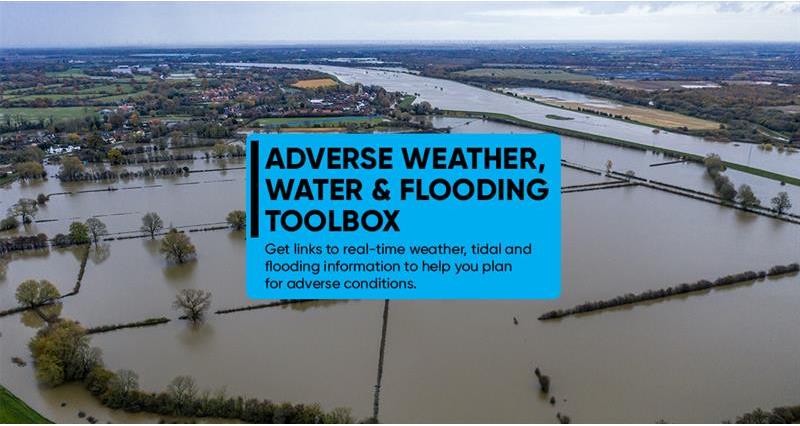
Have you been impacted by adverse weather?
- Click here for information on using What3Words technology to share your location.
- Click here for quick tips on using your mobile phone to send an emergency message or share your location.
- Need to report a problem with electrical power cables? Contact UK Power Networks on 105 - or dial 999 if there's a significant risk to the public.
The Met Office is the national meteorological service for the UK and provides critical weather services and forecasts.
Click here for live Met Office warningsNatural Resources Wales provide flood warnings and alerts for Wales
Visit NRW to see the flood warnings near youThe UK National Tide Gauge Network, owned and operated by the Environment Agency, records tidal elevations at 44 locations around the UK coast.
Click here to get real-time tide height dataYou can sign up to get flood alerts in Wales by phone, email or text message if your home or business is at risk of flooding. The service is free.
Sign up for NRW flood alerts hereShoothill GaugeMap is an interactive map containing the latest British and Irish river level flow, groundwater and camera data from the Environment Agency, National Resources Wales and other environmental bodies across Scotland and Ireland.
Get river level information near youThis page provides seasonal weather advice, bringing together lessons learnt from previous years and top tips to prepare for extreme weather.
Read the NFU's seasonal weather guidanceThe Met Office's Fire Severity Index (FSI), is an assessment of how severe a fire could become if one were to start. The FSI shows the current day's fire severity and a forecast of likely fire severity over the coming five days.
See the latest fire risk index for England and Wales