The maps show the risk of surface water flooding in addition to maps showing the risk of flooding from rivers and the sea, and reservoirs.
Members: Check the maps here to see whether it makes a difference to the stated flood risk for your property and land.
Surface water mapping uses computer models to observe how rain water flows and ponds, and producing maps that take local topography, weather patterns and historical data into account.
Have you been impacted by recent wet weather and flooding on farm?
Our advice for members affected by recent wet weather events includes key pieces of information for dealing with flooding on your land as well as the long-term asks the NFU is putting to government to help ease pressures farmers are facing with current wet conditions. Visit: Advice for members affected by flooding.
What maps are available and what do they show?
Map | What it shows |
This shows the areas at risk from flooding by rivers and the sea (both along the open coast and tidal estuaries). The new flood map for rivers and the sea takes better account of existing flood defences, an improvement on the previous version. | |
This shows the flood risk from surface water from the impact of heavy rainfall. In some cases the assumptions that have had to be made, do mean that the maps may over-or under-estimate the flood risk in an area. When you click on the map you will also be able to see more information showing depth and velocity of flood water for the areas at each level of flood risk. | |
This map shows the extent of flooding if a large reservoir (>25,000 cubic metres) was to fail. It shows the worst case scenario; it is very unlikely that this would happen or any actual flood would be this extensive. | |
This is the previous EA Flood Map showing the risk of flooding from Rivers and the Sea. This shows the risk in terms of Flood Zones. It remains on the EA’s website for use for land-use planning purposes. |
The maps for surface water and revised maps for river and sea flooding define the risk as High, Medium, Low and Very Low. The chance of flooding for the area defined in any given year is shown below:
- High: greater than 1 in 30 (3.3%).
- Medium: between 1 in 100 (1%) and 1 in 30 (3.3%).
- Low: between 1 in 1000 (0.1%) and 1 in 100 (1%).
- Very Low: less than 1 in 1000 (0.1%).
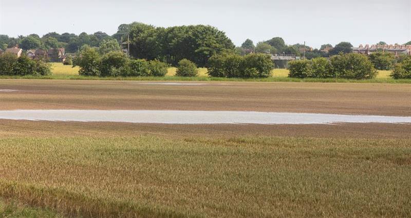
What is surface water flooding?
Surface water flooding is caused when the volume of rainwater falling does not drain away through the existing drainage systems or soak into the ground, but lies on or flows over the ground instead. This type of flooding is usually short lived and associated with heavy downpours of rain, thunder storms etc.
Often there is limited advance notice of surface water flooding owing to its localised nature. The Environment Agency do not currently provide flood warnings for flooding from surface water. The sporadic and intense nature of rainfall that causes surface water flooding makes it very difficult to accurately predict where surface water flooding will occur. However weather forecasts from the Met Office can give a good generalised indications of when a flood risk may occur.
In their role as Lead Local Flood Authorities, County and Unitary Authorities have been given the role to manage local flood risk including surface water, groundwater, and rivers or streams that are not main rivers.
Further information
- Advice for members affected by flooding
- Visit our adverse weather, water and flooding toolbox for useful links for real-time weather, tidal and flooding information
- BPS: Things to consider during periods of wet weather
- EA maps show risk from surface water flooding
- NFU calls for supportive and pragmatic approach to dealing with wet weather impacts
- Latest updates on the NFU’s work on flooding policy
- Check the following situation in your area on the Environment Agency site here