Aerial footage shows a flooded River Don

28 January 2021

The day after Storm Christoph struck in January 2021, the NFU's North East regional team deployed a drone to capture on film the situation along a seven-mile stretch of the River Don in South Yorkshire, travelling upstream from Rawcliffe Bridge.

Regional Environment Adviser James Copeland said he expected to see the flooding increase further upstream, but didn’t expect the contrast to be quite so stark.

“Looking at the footage at Rawcliffe Bridge, you wouldn’t think we’d just experienced a major storm,” he said.

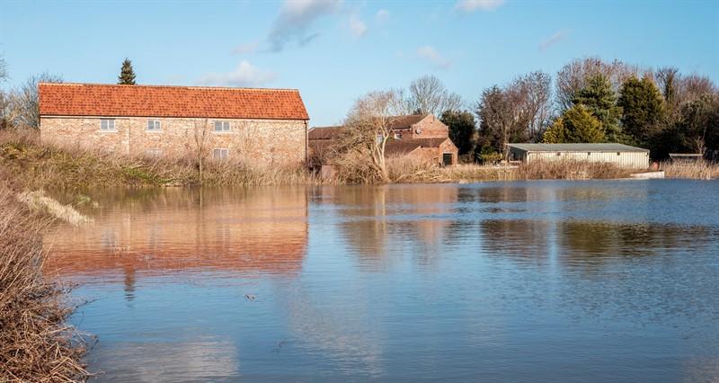
“But travel just a few miles upstream and the picture is very different with large areas of farmland – often behind flood banks – under several feet of water.

“It’s a dramatic testament to the fact that conveyance needs to be given much higher priority.”


Ask us a question about this page

Once you have submitted your query someone from NFU CallFirst will contact you. If needed, your query will then be passed to the appropriate NFU policy team.

You have 0 characters remaining.

By completing the form with your details on this page, you are agreeing to have this information sent to the NFU for the purposes of contacting you regarding your enquiry. Please take time to read the NFU’s Privacy Policy if you require further information.

This site is protected by reCAPTCHA and the Google Privacy Policy and Terms of Service apply.