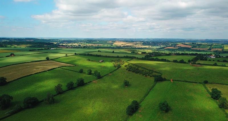
The map can be accessed via the LandIS (Land Information System) portal.
The move was announced as part of the government’s Land Use Framework, published earlier this year, which includes a commitment to improve access to high-quality soil data to support better land management and food production.
Defra also plans to publish an updated version of the ALC (Agricultural Land Classification) map for England.
What is LandIS?
LandIS brings together a wide range of detailed soil maps and data sets for England and Wales. It has been managed by Cranfield University for more than 20 years, but until now most of the data was only available through licences or behind paywalls.
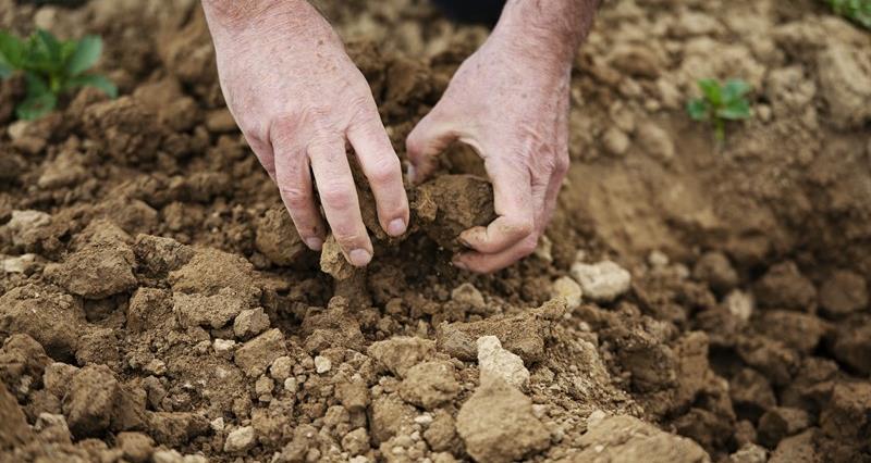
With access restrictions removed, LandIS data can now be freely used to support research and decision-making across sectors such as agriculture. According to the University, the NATMAP (national soil map) can help non-soil specialists better understand soil resources and identify potential soil risks.
What data is available?
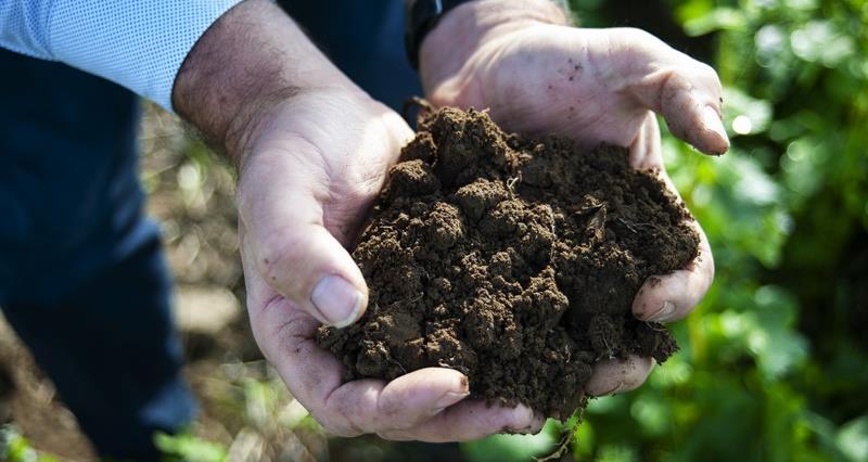
NATMAP is one of the largest soil datasets in Europe, containing decades of information on more than 30,000 soil samples and 250,000 soil observations.
Alongside NATMAP, the LandIS also contains:
- NATMAP vector: Maps more than 300 soil associations.
- NATMAP soilscapes: A simplified national soil map for broad applications.
- NATMAP 1000 & 5000: Vector soil reclassification data.
- SOILSERIES: Data sets for soil series properties.
- Horizon data: Describes physical and chemical properties of soil layers.
- The National Soil Inventory: Point based data on soil chemistry, structure, land use, and erosion.
Updated Agricultural Land Classification map
Defra has also announced an updated predictive ALC (Agricultural Land Classification) map for England to replace the provisional ALC map. The map grades agricultural land quality from one (excellent) to five (very poor) and is widely used to inform planning decisions.
The updated map includes the subdivision of grade 3 land into 3a and 3b, allowing the extent of ‘Best and Most Versatile land’ (defined as grades 1, 2 and 3a) to be mapped more accurately. As a result of this subdivision, the new map reveals that around 20% of land has improved by one grade, while less than 20% has decreased in grade.
Defra is also carrying out a technical review of the ALC system, due to be completed in 2028. This will allow new data and methodologies to be incorporated, helping to better classify agricultural land in the future.
In addition, an interim soil health statistic for England is now available through the Joint Nature Conservation Committee.