Problems with power cables
If a power cable issue could cause a significant risk to the public, contact the emergency services on 999.
Met office
The Met Office is the national meteorological service for the UK and provides critical weather services and forecasts.
The Met Office's Fire Severity Index (FSI), is an assessment of how severe a fire could become if one were to start. The FSI shows the current day's fire severity and a forecast of likely fire severity over the coming five days.
See the latest fire risk index for England and Wales
According to provisional figures from the Met Office, 2024 has seen the wettest September on record for some counties, though no national monthly records have been broken.
Ten English counties experienced their wettest September on record and for Bedfordshire and Oxfordshire, September 2024 was the wettest calendar month the counties have experienced, in a series dating back to 1836.
Some countries had more than 300% average rainfall whereas Scotland and Northern Ireland experienced below average rainfall.
GOV.UK
Gov.uk provide a flood information service, which provides flood warnings, river, sea, groundwater and rainfall level information, and a five-day flood risk analysis for England and Wales.
Environment Agency
You can sign up to get flood alerts in England by phone, email or text message if your home or business is at risk of flooding. The service is free. When you register, ‘opt in’ to receive flood alerts as well as flood warnings.
Although flood alerts and warnings may not be available for all locations, a warning or alert to an incident happening nearby can still provide you with valuable information to help you prepare.
Simply type in the town, village or county you are interested in and select the warning or alert area that would be helpful to you – you don’t need to have a postcode.
Flood plans
You can minimise the impact of flooding by creating a personal or business flood plan.
This will prompt you to consider who you would need to contact in the case of an emergency and to create a list of useful contact details. It also provides a checklist of actions to carry out ahead of rising water levels.
You can get further advice on what to do and how to stay safe during a flood from the National Flood Forum or the British Red Cross.
You can also speak to a Floodline adviser by calling 0345 988 1188. This is a 24 hour service.
Coastal and estuary land
The UK National Tide Gauge Network, owned and operated by the Environment Agency, records tidal elevations at 44 locations around the UK coast.
Get real-time tide height data
Rivers
Shoothill GaugeMap is an interactive map containing the latest British and Irish river level flow, groundwater and camera data from the Environment Agency, National Resources Wales and other environmental bodies across Scotland and Ireland.
Get river level information near you
Wales
Welsh members can sign up to the NRW flood alerts.
Get flood warnings and alerts for Wales
Forage Aid
If you’re a UK farmer whose livestock is suffering the effects of an extreme weather event or Act of God, Forgae Aid can help by getting emergency forage and bedding to you.
Reporting flooding and other environmental incidents
You can report incidents on the Environment Agency's 24 hour incident hotline on 0800 807 060.
Before reporting a flood or possible cause of flooding, read: GOV.UK – Report a flood or possible cause of flooding
Where to go for further help and support
- Visit the YANA website for contact details for organisations that can provide additional support, including R.A.B.I., and the Farming Community Network.
- You can also get more information on dealing with stressful and challenging situations by visiting the NHS England Every Mind Matters website.
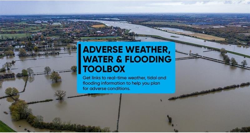
- Visit our adverse weather, water and flooding toolbox for all the latest alerts, guidance and information on flooding and other extreme weather to help keep you and your business safe, including quick tips on using your mobile phone to send an emergency message or to share your location.


