He writes:
With some of the big names in the drone and avionics industry such as Parrot, DJI and Boeing in attendance, this was a good chance to learn much of what’s currently happening in the drone and Unmanned Aerial Vehicle (UAV) industry. It also provided a snapshot into the wide variety of applications for UAVs and what this means for the agricultural and horticultural sector.
UAVs are becoming more popular with casual users as well as being adopted by businesses that focus on industrial and infrastructure solutions. This was apparent by the many sizes and specifications of drones on display at the conference.
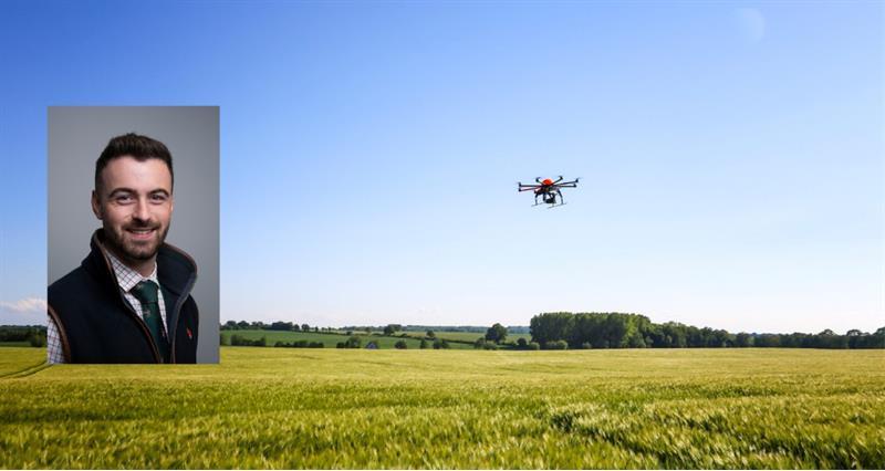
Very hi-tech sophisticated drones and tools focusing on the agricultural sector were on display. These displays showcased many specialist surveying companies offering their expertise for the agricultural sector offering solutions for precision agriculture such as mapping, crop surveying tools and even sprayer drones.
Drone registration
After speaking to representatives from the Civil Aviation Authority (CAA), they have confirmed that all drones over 250 gramswill need to be registered with them in a new scheme to be put into place in November 2019.
This means the CAA will be able to track and monitor the presence of drones across the nation as well as monitor their usage and encourage responsible ownership. For many scenarios there are guides available for responsible flying provided by Drone safe as well as the Data Protection laws and guidance.
Permission is needed to fly a drone on private land. If the drone user fails to provide the data they could be investigated for breach of the data protection act. This applies to any UAV flown around residential properties, built up areas, even buildings concerning farm businesses such as cattle sheds, grain stores, chemical stores and machinery sheds.
The many uses for an agricultural drone span from simple camera drones right the way to complex multispectral sensory remote sensing tools. While talking to experts in the field of agricultural technology, the theme of artificial intelligence integration with the already existing farm management tools and software is the next step once drones become common place in an agricultural enterprise.
While discussing whole farm data and data security, the experts at the Commercial UAV Show suggested that in the agricultural sector, whole farm data collected from drones should be treated with the same sensitivity as field and farm maps, crop yield forecast, outputs, inputs and cropping rotations.
Due to the sensitive nature of such data, data protection is critical. I will look at this further in my next Airborne Agriculture article.